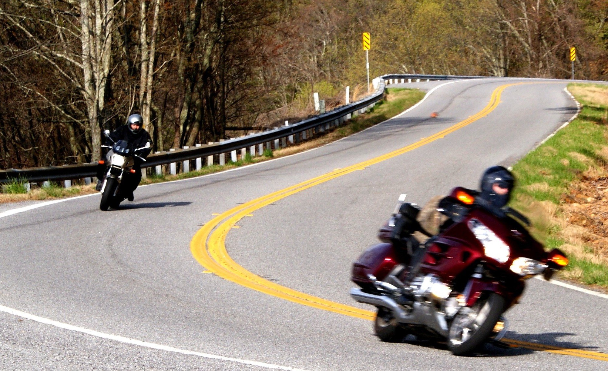
MOUNTAINS - REMOTE - CURVES
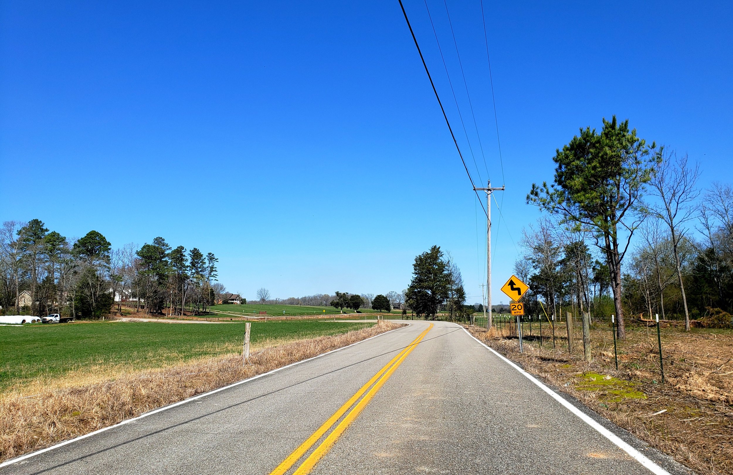
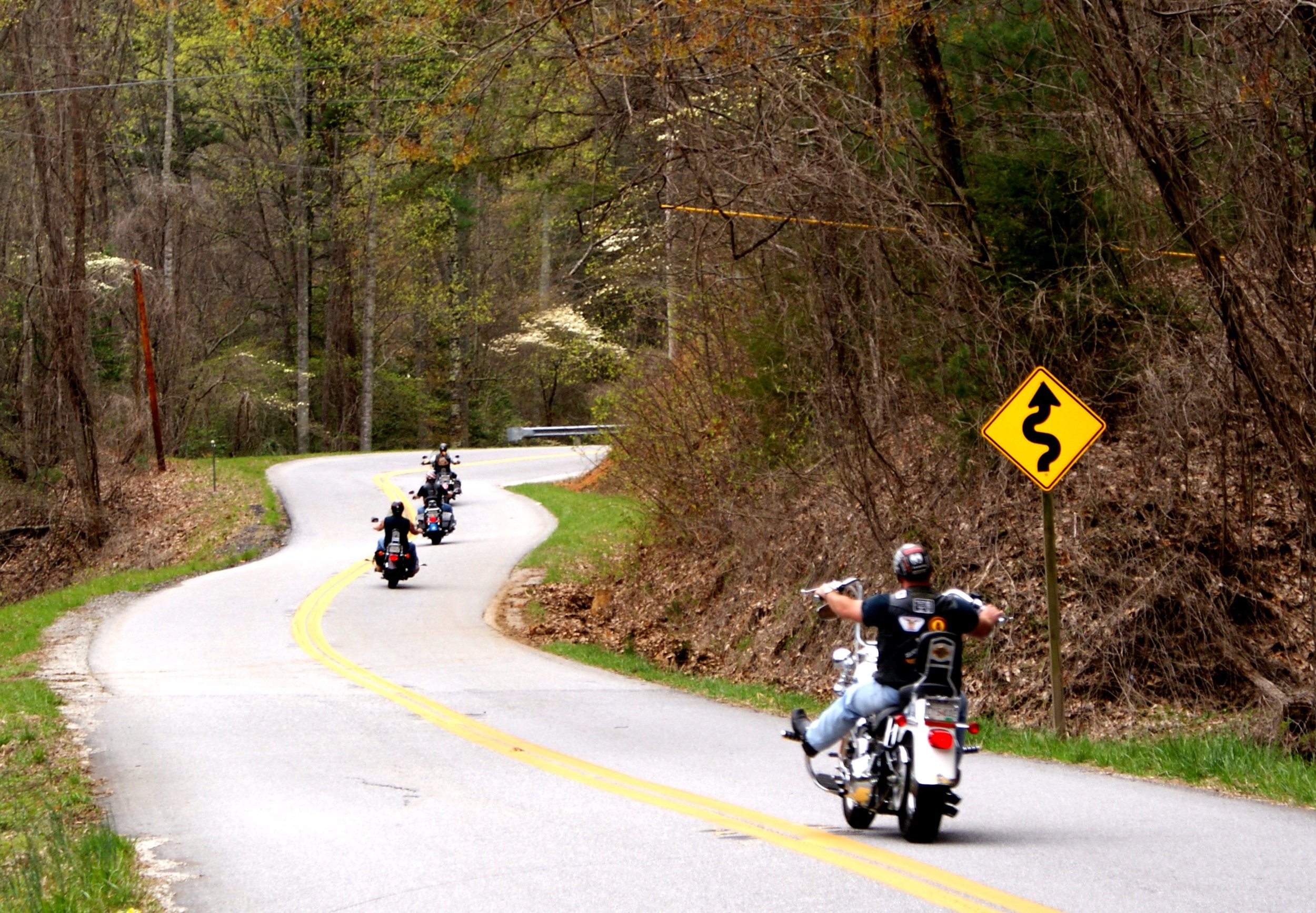
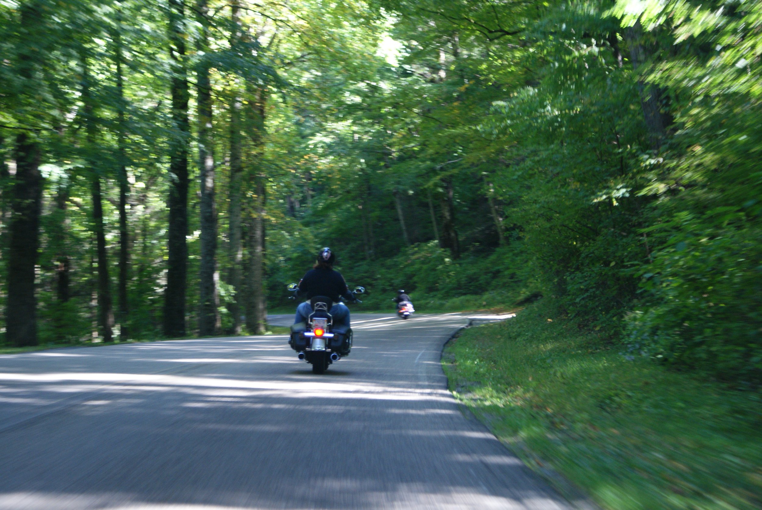
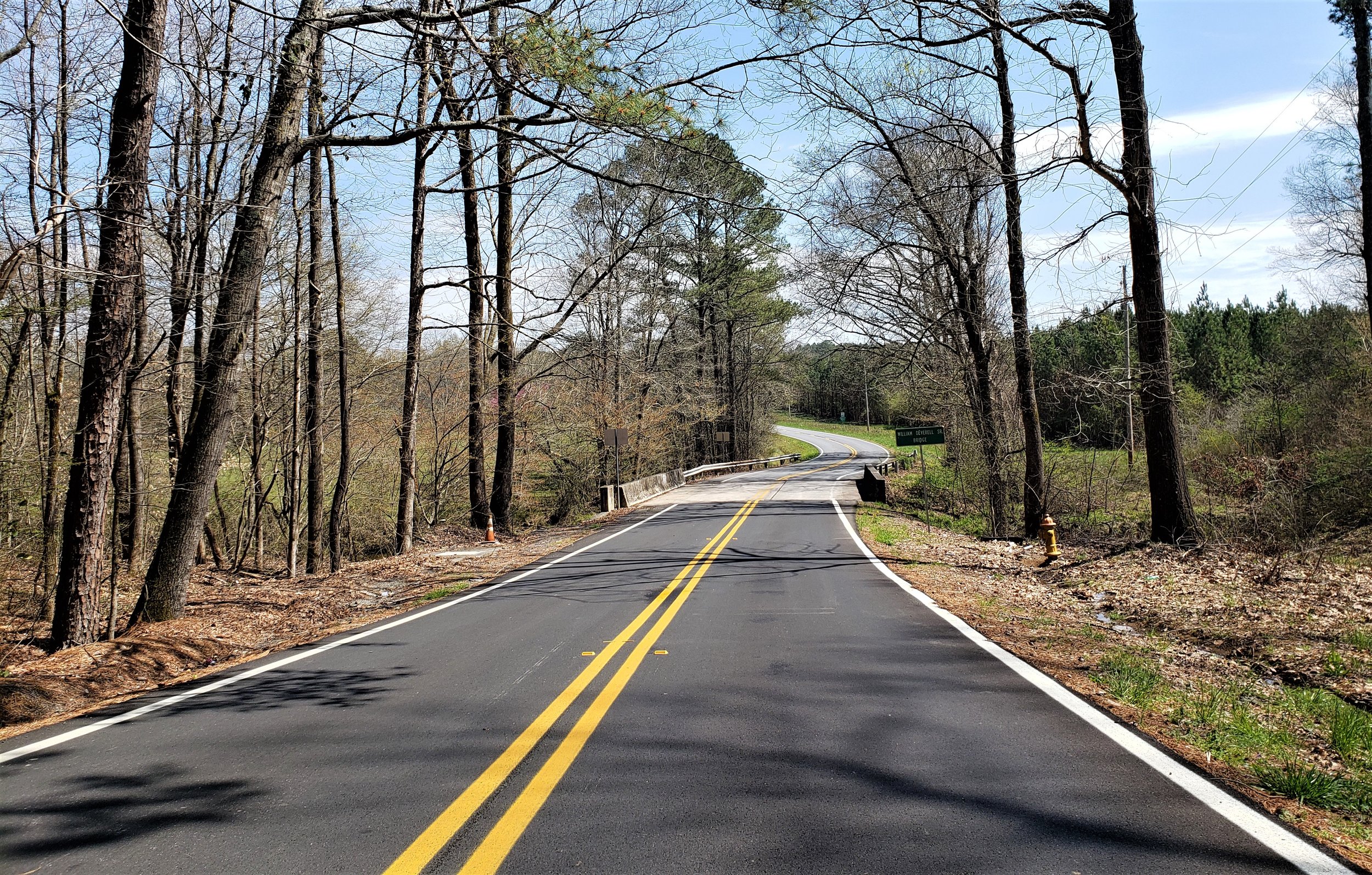
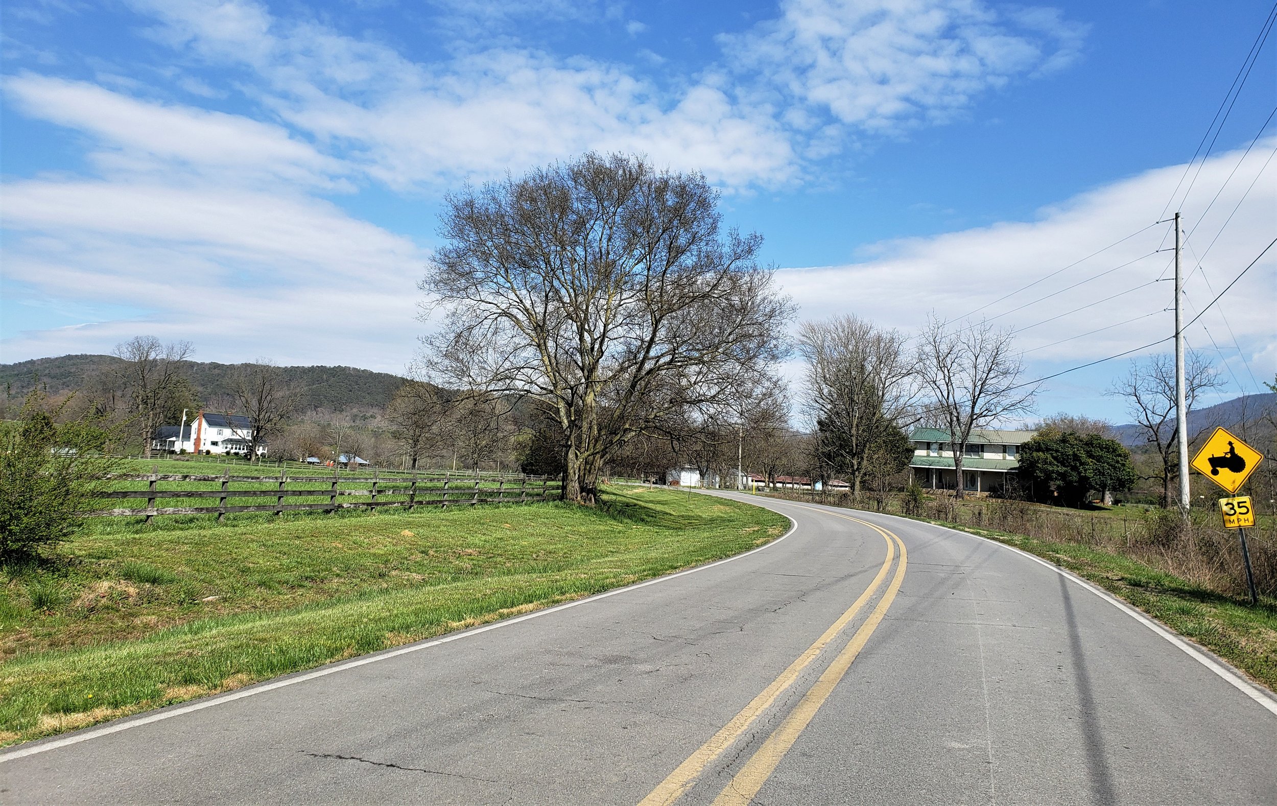
This loop is a mixture of county roads and state highways through the country along with state highways across a mountain in north Georgia. This is one of the longer loops in the Scenic City Backroads, and one that will get you well away from your starting point. There are many curves on the backroads due to the high volume of turns on country roads.
LOOP TYPE: Mix of good country roads and state highways
DURATION: 5.75 hours / 212 miles
ZONE: Southeast (see aerial route view)
TALKING ROCK LOOP
Download a description, directions, and maps.
Download a 11x17 topographical map.
Access turn-by-turn and voice guided GPS app.
General route guidance tools and tips.
Access routes via the app.
Already a member?
If you already downloaded the app and submitted your membership request, access routes under Clubs then Scenic City Backroads.
Not a member yet?
Login to the app and look for Scenic City Backroads under Clubs. If you don’t see it, you are not a member yet.