
MOUNTAINS
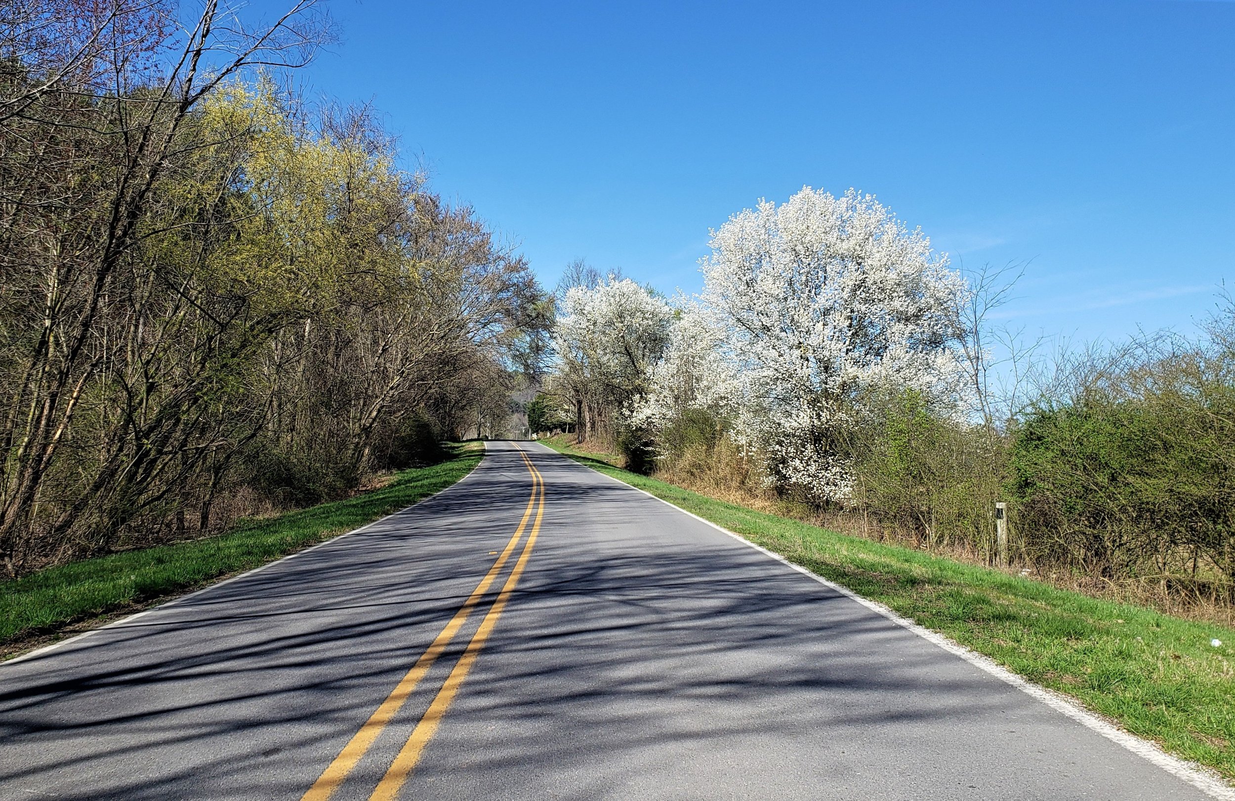
This loop is one of the longer loops. You will cross two mountains, and the Tennessee River twice. You will ride one of the best country roads of all the routes and travel some switchback curves while ascending a mountain. The best way to describe this loop is that it is a mix of pretty much everything!
LOOP TYPE: Primarily two-lane state highways
DURATION: 4 hours / 161 miles
ZONE: Southwest & Northwest (see aerial route view)
MONTEAGLE LOOP
Download a description, directions, and maps.
Download a 11x17 topographical map.
Access turn-by-turn and voice guided GPS app.
General route guidance tools and tips.
Access routes via the app.
Already a member?
If you already downloaded the app and submitted your membership request, access routes under Clubs then Scenic City Backroads.
Not a member yet?
Login to the app and look for Scenic City Backroads under Clubs. If you don’t see it, you are not a member yet.