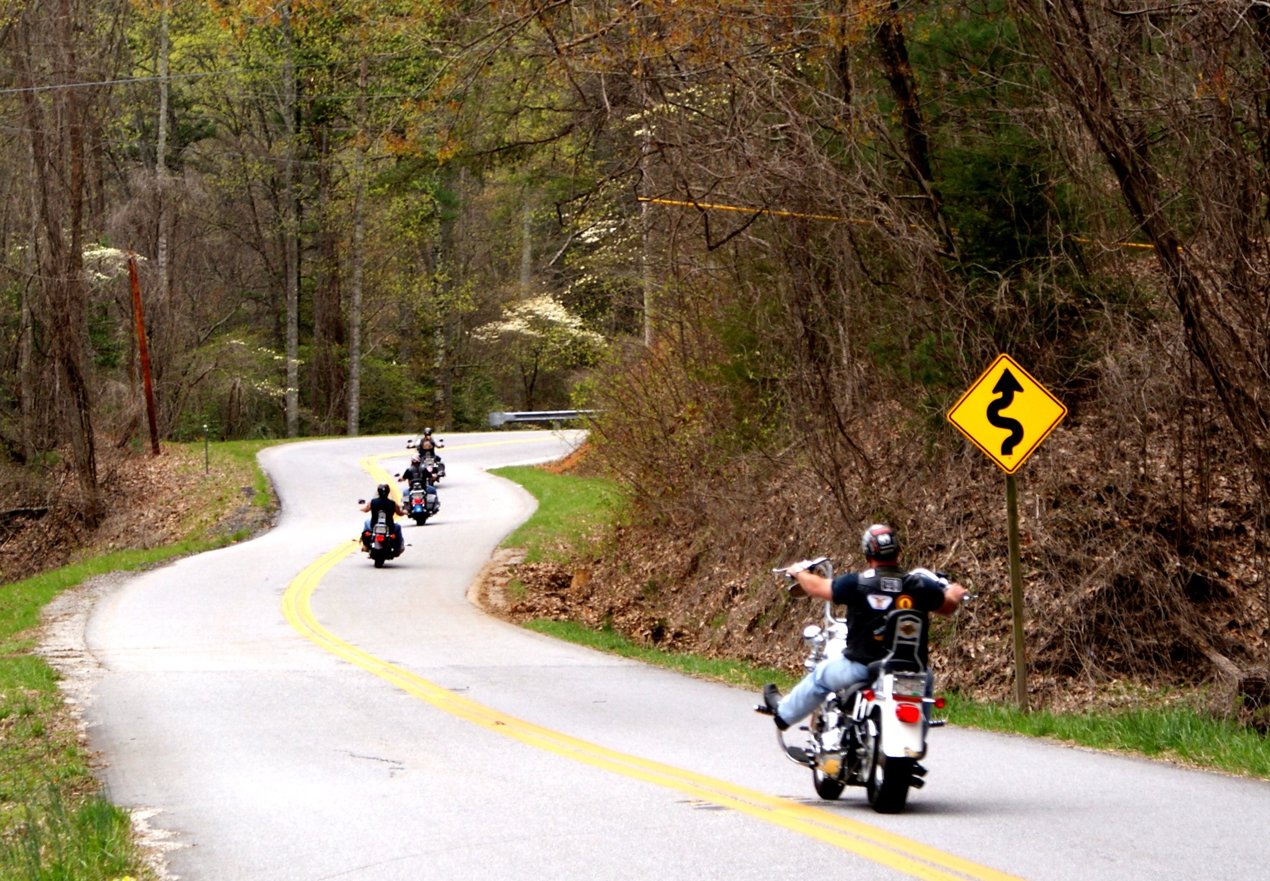
REMOTE - CURVES
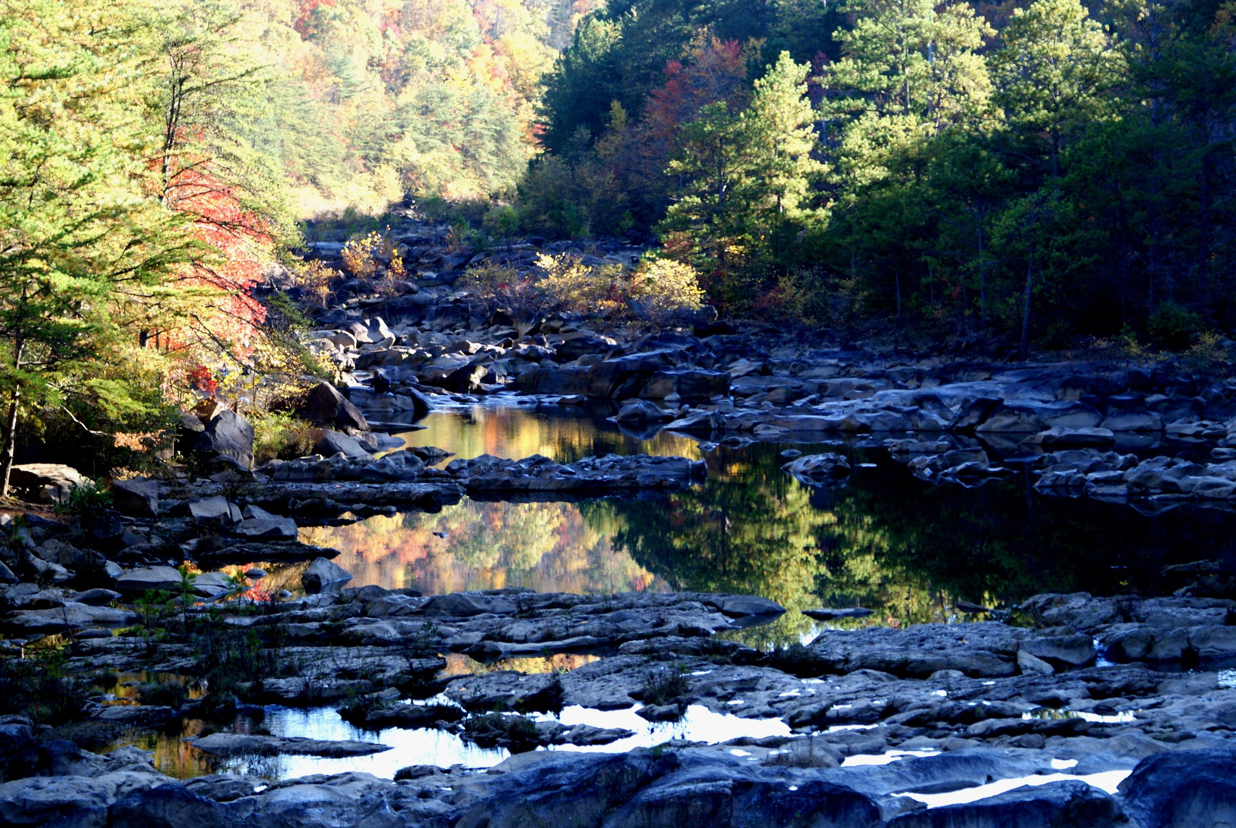
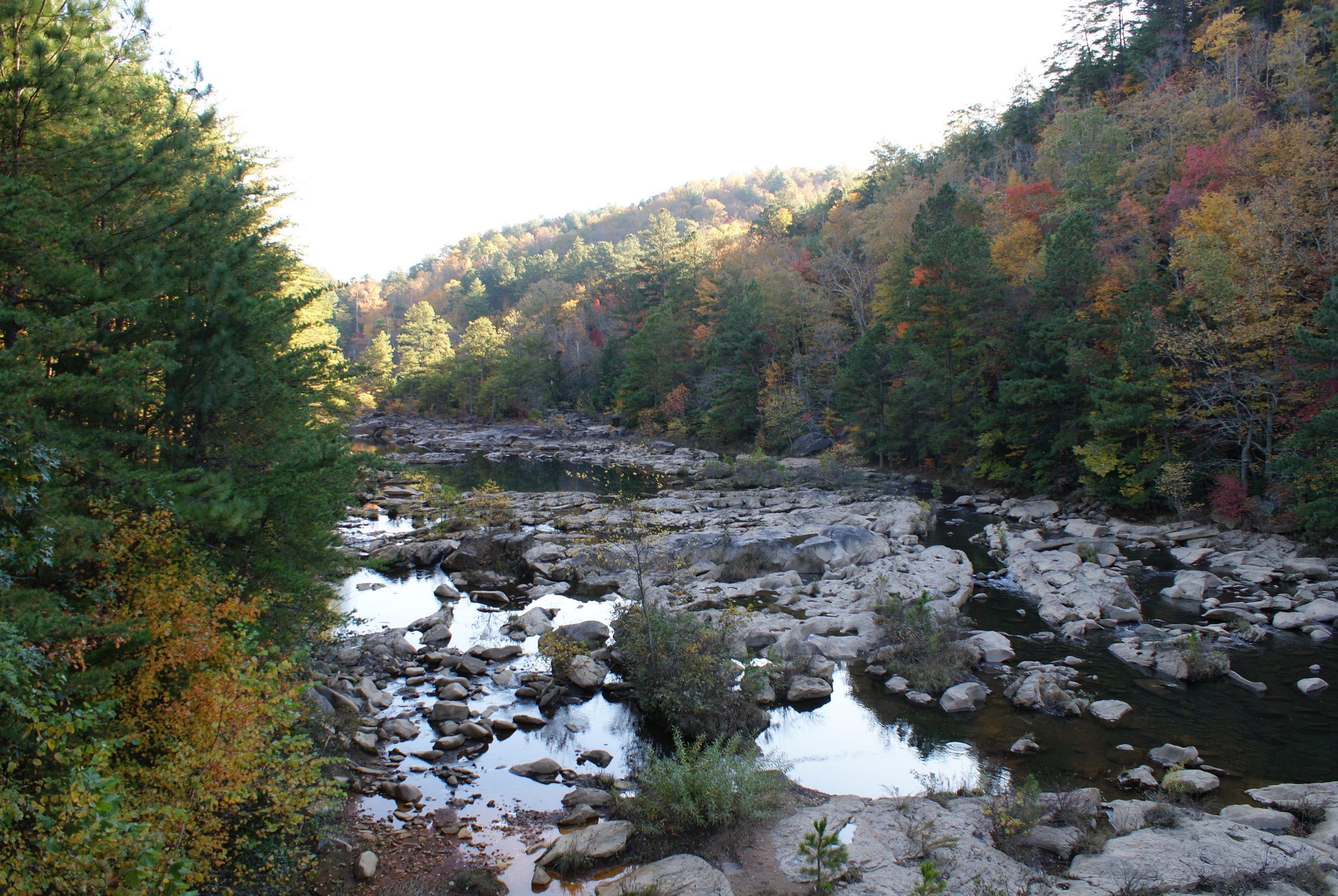
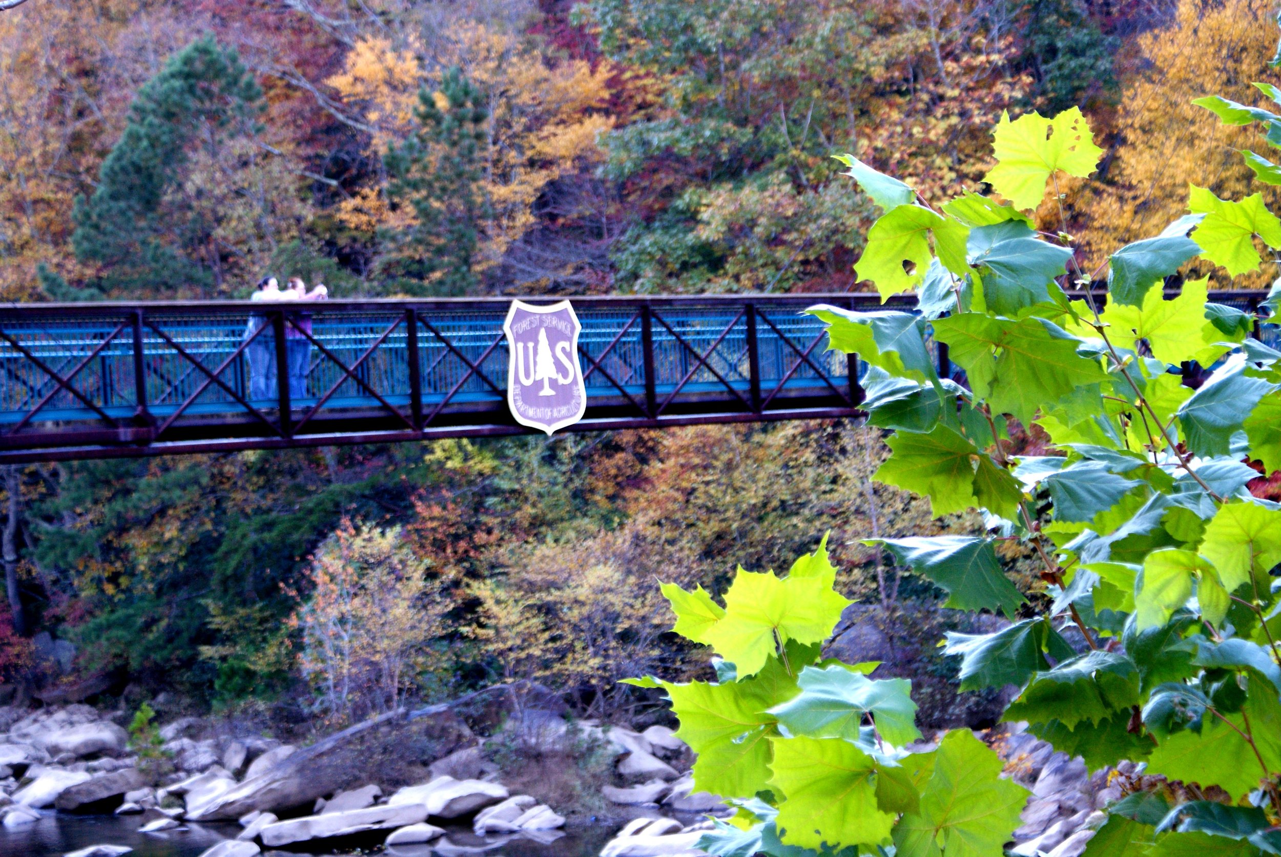
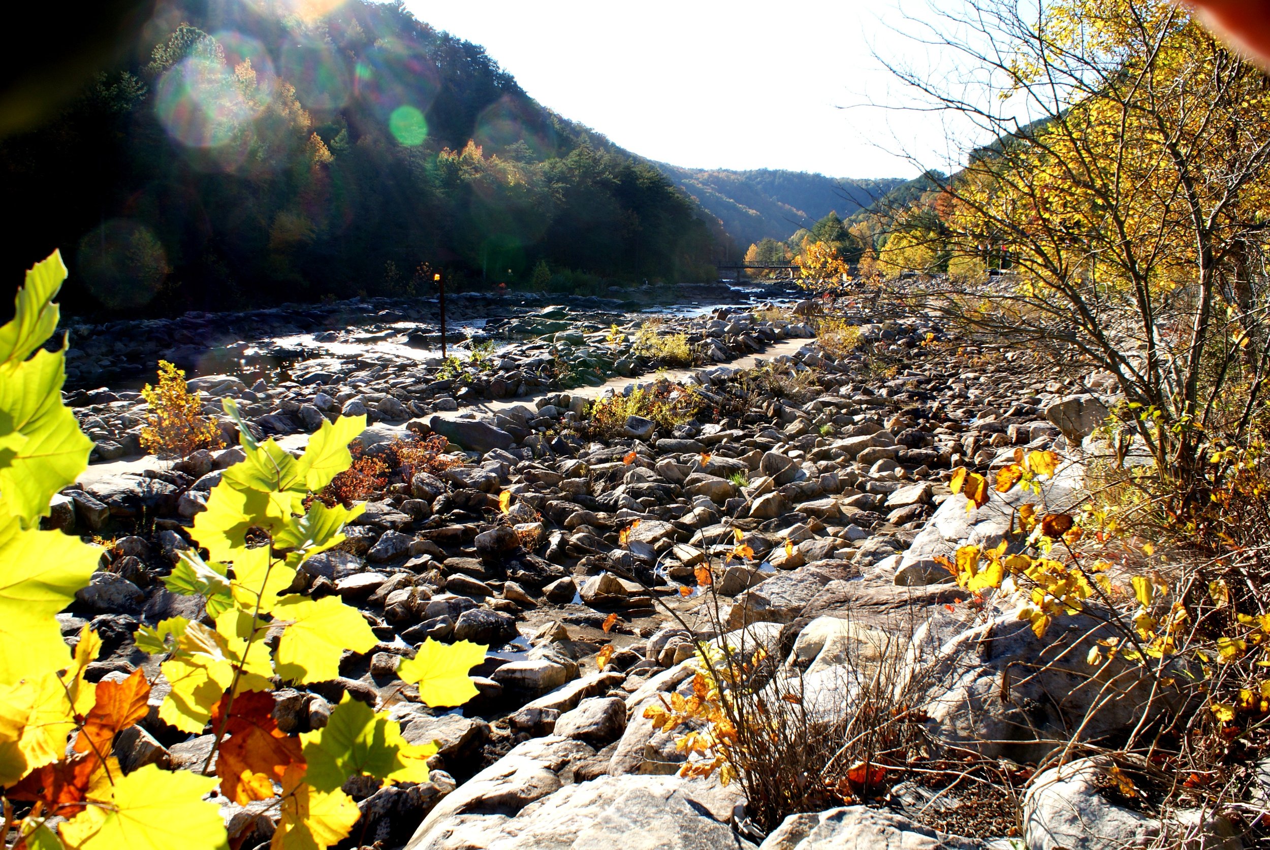
Though beginning primarily as interstate and divided state highways, it is soon one of the most scenic, interesting, and relaxing rides of the Scenic City Backroads. You will encounter mountains, a whitewater river used in the Summer Olympics, apple orchards, mountain towns, remote clear creeks, a secluded park, and plenty of country roads. Take your time to enjoy this special ride which will take most of the day.
LOOP TYPE: Interstate to narrow two-lane country roads
DURATION: 5 hours / 195 miles
ZONE: Southeast & Northeast (see route aerial view)
COPPERHILL LOOP
Download a description, directions, and maps.
Download a 11x17 topographical map.
Access turn-by-turn and voice guided GPS app.
General route guidance tools and tips.
Access routes via the app.
Already a member?
If you already downloaded the app and submitted your membership request, access routes under Clubs then Scenic City Backroads.
Not a member yet?
Login to the app and look for Scenic City Backroads under Clubs. If you don’t see it, you are not a member yet.